
Springfield ZIP Code Directory Map Labels
Springfield City Web GIS displays 11 ZIP labels in its parcel and mapping context: 01103, 01104, 01105, 01107, 01108, 01109, 01118, 01119, 01128, 01129, and 01151. Those labels are useful for locating a parcel in a Springfield map layer. They are not a complete Springfield postal-delivery table, and they do not establish that every address in a ZIP lies within Springfield. The Springfield coverage table keeps the City GIS labels separate from postal and administrative contexts that need address-level verification.
| ZIP | Areas Covered | Post Office | Notes |
|---|---|---|---|
| 01101 | Springfield postal and administrative context | USPS Springfield S&DC, 1883 Main Street, 01101-9918 | Not in the visible GIS parcel-label set; exact delivery classification was not located |
| 01102 | Springfield administrative and P.O. Box context | Exact postal coverage not located | Hampden Probate uses a P.O. Box 559 mailing address; verify each address with USPS |
| 01103 | City GIS parcel label; central or downtown map context only | Exact station assignment not located | Do not infer street limits from the map label alone |
| 01104 | City GIS parcel label | Exact station assignment not located | Check GIS and USPS for a specific address |
| 01105 | City GIS parcel label | Exact station assignment not located | Parcel-facing map label; verify delivery ZIP separately |
| 01107 | City GIS parcel label | Exact station assignment not located | Use GIS for map context and USPS for delivery verification |
| 01108 | City GIS parcel label | Exact station assignment not located | City parcel geography is not a postal boundary table |
| 01109 | City GIS parcel label | Exact station assignment not located | Use the complete address for the final postal check |
| 01118 | City GIS parcel label | Exact station assignment not located | ZIP layer provides map context, not a household list |
| 01119 | City GIS parcel label | Exact station assignment not located | Verify a delivery address through USPS |
| 01128 | City GIS parcel label; appears in state and local ZIP lists | Exact station assignment not located | Use an address-specific lookup before assigning a boundary |
| 01129 | City GIS parcel label | Exact station assignment not located | Gate of Heaven at 421 Tinkham Road is one documented address, not a ZIP boundary |
| 01151 | City GIS parcel label; Indian Orchard context in diocesan material | Exact station assignment not located | Do not turn a local facility reference into a full-area claim |
The Springfield City ZIP percentage chart uses the same 11 GIS labels and totals 100 percent, but its denominator and measurement date should be taken from the PDF rather than assumed to be a current population count. Treat the chart as Springfield ZIP context, not as a census of people or addresses.
Note: A Springfield map label identifies the City GIS context, while USPS verifies the postal ZIP for an actual delivery address.
Springfield ZIP Layers in City GIS
The Springfield City Web GIS is the map route for ZIP context. It accepts an address or street through an autocomplete search, then lets a user inspect mapped layers and click a parcel. The City GIS includes ZIP Codes alongside City Boundary, Neighborhoods, Street Names, parcel outlines, building outlines, election wards and precincts, community-policing sectors, historic districts, zoning, wetlands, and other layers. Its ArcGIS REST metadata also exposes a Zip_Codes layer and supports JSON or GeoJSON.
Springfield City Web GIS shows the neighborhood, ZIP, parcel, zoning, and district layers used to place a ZIP in local map context.
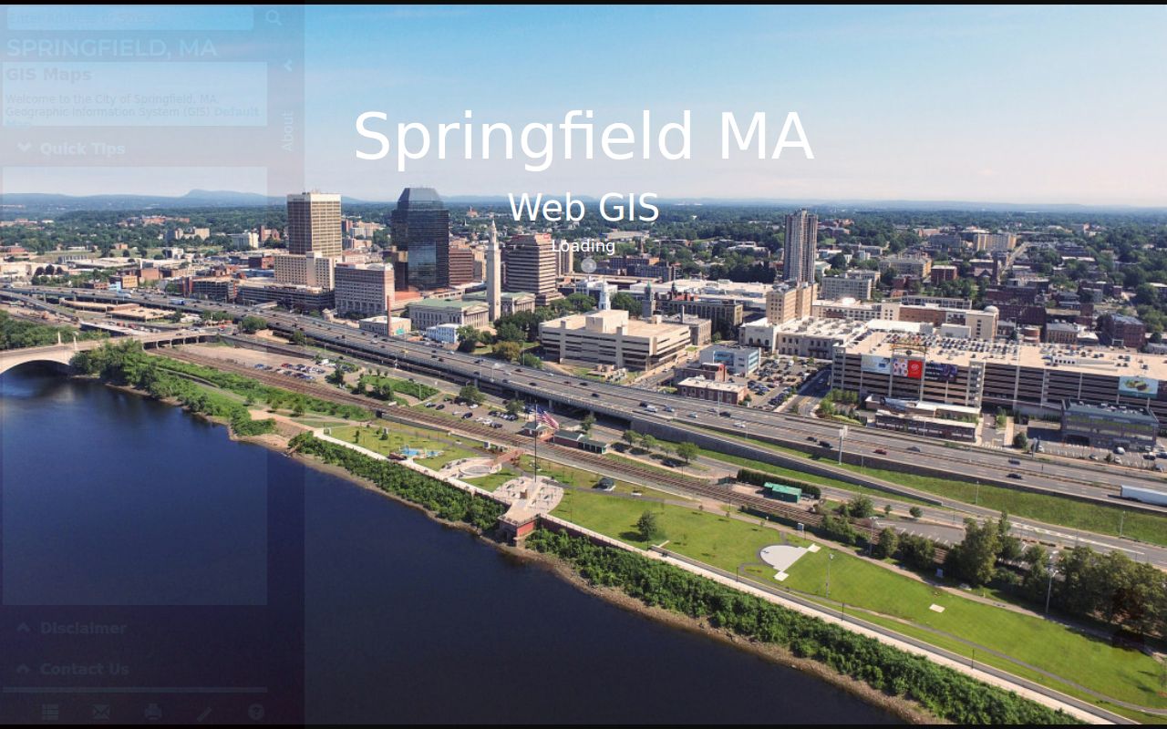
The image illustrates why one Springfield address can sit inside several local geographies at once. A Springfield ZIP label, neighborhood, precinct, historic district, and parcel may all be useful, but they do not share one boundary system.
Springfield’s official materials recognize 17 neighborhoods and 19 neighborhood councils or groups. Springfield neighborhood boundaries are commonly marked by major roads, highways, parks, railroads, and landmarks. This geography layer is valuable for reading a Springfield map or historical reference, yet it should not be used to assign a ZIP by neighborhood name alone.
Springfield Postal Address Checks
The USPS ZIP Code Lookup is the final address-level check. Enter a complete street address rather than assigning a ZIP from a Springfield neighborhood label or map color. That step matters near a city line, for an older address, and whenever a postal or administrative ZIP appears outside the City GIS parcel set. The official sources did not provide a complete local street-range table or a dated Springfield ZIP split history.
USPS ZIP Code Lookup is the source for checking the delivery ZIP attached to a complete Springfield street address.
A USPS result resolves the mailing ZIP for the entered Springfield address. It does not decide a municipal boundary, a neighborhood, or a property record question, so compare it with the Springfield map and the relevant Springfield official record.
01101 needs that degree of care in Springfield. The Massachusetts Attorney General’s 2025 report includes it among Springfield ZIPs, and USPS lists the Springfield S&DC at 1883 Main Street, 01101-9918. The reviewed sources did not establish its exact Springfield delivery, P.O. Box, or unique-ZIP classification. Likewise, 01102 appears in a Springfield administrative mailing context, including the Hampden Probate P.O. Box address, but its exact postal coverage was not located.
Springfield Property Searches by ZIP
Springfield property tools are useful after a ZIP has narrowed the Springfield map, but they are not ZIP-wide resident searches. The Springfield assessor search accepts a parcel number or street address. A Springfield street-only entry can browse addresses on that street, and results can be sorted by street number or owner name. The inspected assessor page does not expose an owner-name search or a ZIP field. Its property description and value dates are also assessment snapshots, not a live household register.
Springfield’s tax-information search is the owner-name and property-card route shown in this source image.
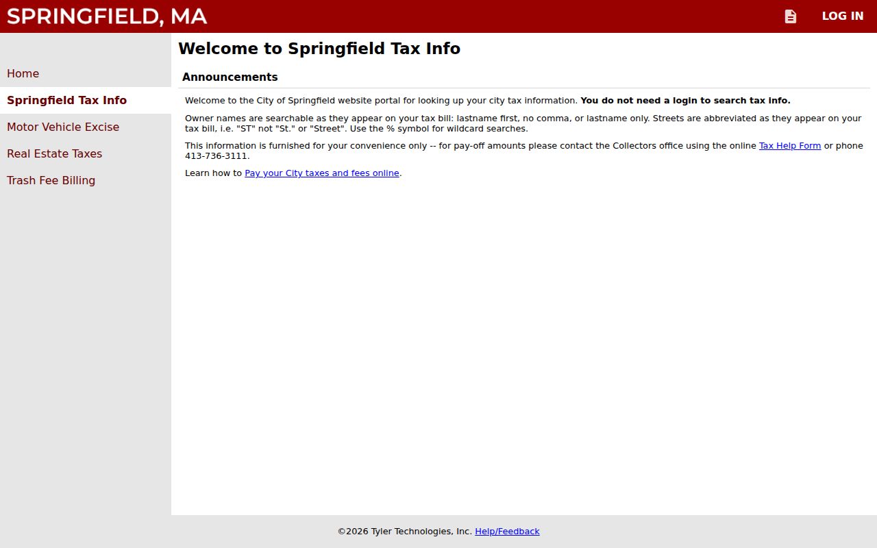
The Springfield tax portal accepts owner, street, parcel, and bill concepts, but the inspected text did not expose a ZIP-filter control. Use it to test a known Springfield property or owner clue after validating the address, not to build a ZIP-wide list.
The tax search expects names as printed on the bill, last name first with no comma, and accepts a percent sign as a wildcard. It expects street abbreviations such as ST. A mailing line in tax data can belong to an owner, estate, corporation, lender, or representative, so it should not be treated as the property’s site address or a person’s current location.
Springfield ZIPs in Voter Status
Massachusetts My Voter Registration Status uses the five-digit ZIP where a person is qualified to vote, along with a name and full date of birth. It is intended for a person to check that status. It is not a browse-all-ZIP form and should not be treated as a name-to-address directory. The required fields show why a ZIP by itself cannot produce a Springfield voter list.
| Field | Type | Required | Use in the status form |
|---|---|---|---|
| First Name | Text | Yes | Voter’s first name |
| Last Name | Text | Yes | Voter’s last name |
| DOB Month, Day, Year | Dropdowns | Yes | Complete date of birth; option text was not fully exposed |
| 5-digit ZIP | Text or numeric | Yes | ZIP where the person is qualified to vote |
| Agreement | Checkbox | Yes | Statement must be accepted |
| Search or submit | Button | Not applicable | Action label was not exposed in text inspection |
The Springfield Elections Office keeps the annual Springfield street listing and administers voter registration from City Hall, Room 8. Its listed hours are Monday through Friday, 8:30 a.m. to 4:00 p.m., and its phone is 413-787-6190. A request for a Springfield municipal voter file or street-list record should go to that Springfield custodian first. The reviewed City page did not provide a local request form, fixed fee, delivery format, or processing time.
Finding Residents by Springfield ZIP
A ZIP can organize a Springfield search, but no reviewed portal offers a reliable ZIP-wide browse of Springfield households. Work from the most precise record key available. Use a Springfield street address for USPS and City GIS, a parcel or street for the assessor, and the complete personal details required by the voter-status form. That keeps a Springfield postal check from becoming an unsupported claim about a person.
- Enter the complete Springfield street address in USPS ZIP Code Lookup and save the delivery ZIP returned for that address.
- Search the same address or street in City Web GIS, turn on the ZIP Codes layer, and compare the mapped ZIP context with the City Boundary and Neighborhoods layers.
- Use the Springfield assessor or tax-information portal with the street, parcel, or owner clue that the record actually accepts. Preserve the situs, mailing, and parcel details separately.
- Use the voter-status form only for its stated individual status purpose. For a municipal list or annual street-list record, contact the Springfield Elections Office with the year and category requested.
- Once a ZIP result narrows to a particular street, use the Springfield street directory for the fuller address-based record trail.
The Springfield workflow also works backward when only an old mailing line is known. Confirm the current delivery ZIP first, then compare the postal result with a Springfield parcel or street map. A historical Springfield directory address, tax mailing address, and current situs can differ, so each should stay in its own column of the research notes.
Springfield ZIP Boundary Traps
ZIP boundaries are postal delivery geographies, not Springfield city limits. A Springfield address with a Springfield postal context can sit outside the municipal boundary, while a City operation or administrative address can use a ZIP that does not appear in the ordinary parcel-label layer. The review found no official Springfield street-by-street ZIP boundary table, no verified local split or realignment year, and no complete station-assignment list. Address-level USPS verification remains the safe route.
- ZIP and ZIP+4
- The five-digit ZIP is the basic postal area. ZIP+4 adds four digits for a more specific delivery segment and should not be mistaken for a neighborhood boundary.
- P.O. Box ZIP
- A postal ZIP used for box or administrative delivery. It may not appear as a regular parcel label in Springfield GIS.
- Unique or institutional ZIP
- A ZIP associated with a specific organization or delivery context. The reviewed sources did not establish all Springfield unique-ZIP assignments.
- Carrier route
- A postal delivery route, not a municipal district or a public list of occupants.
Note: Neither a ZIP map nor a postal result substitutes for confirming the actual record system that holds the address or parcel.
Springfield Address and ZIP Types
Springfield record systems use several address keys. A Springfield situs address is where the parcel or building sits, and it drives assessor, GIS, permit, and many deed searches. A Springfield mailing address is where tax correspondence or voter mail goes. A legal description is the lot, plan, or boundary description used in Registry records, and it can survive a street-number change. A historical city-directory address is a dated publication entry. A Springfield postal ZIP belongs to delivery geography.
Keep those Springfield labels separate when a search crosses Hampden County records, City property records, and postal data. A P.O. Box, processing center, institutional ZIP, out-of-city owner mailing line, or former street number can otherwise make a Springfield result look more precise than it is. The Springfield City GIS and USPS each answer a different question, and neither alone identifies everyone connected to a parcel.